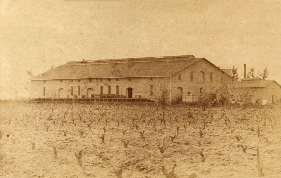
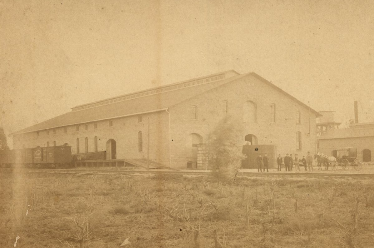
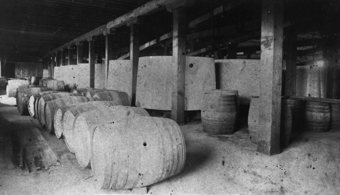
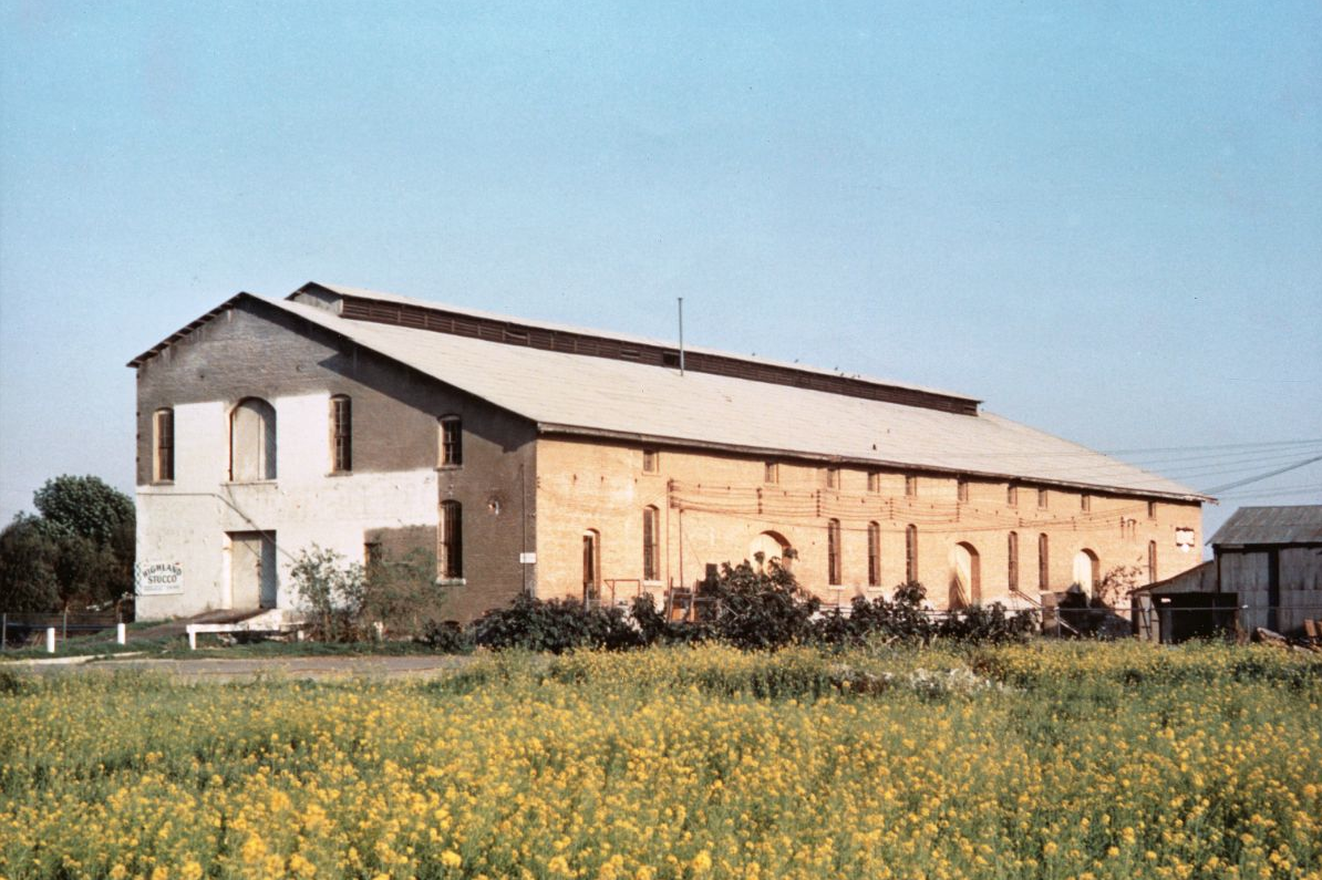
The Dreyfus Winery
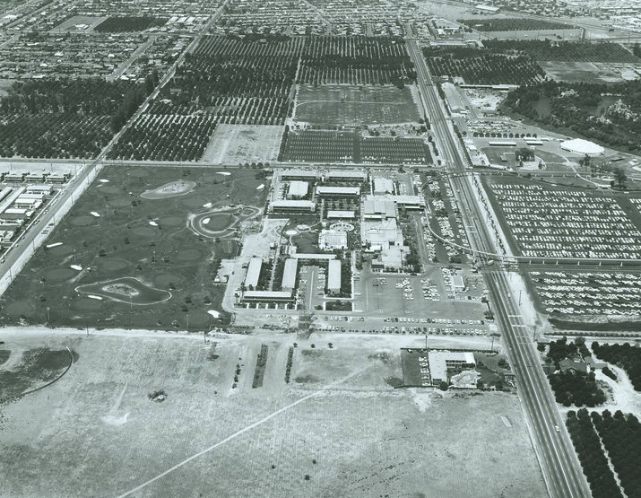
This aerial view from june of 1956 is facing east with the 5 Freeway and Ball Road intersecting in the upper right corner. The building is still surrounded by groves which extend west and border the then new housing tracts between Ball and Walnut.
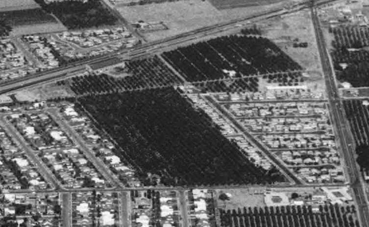
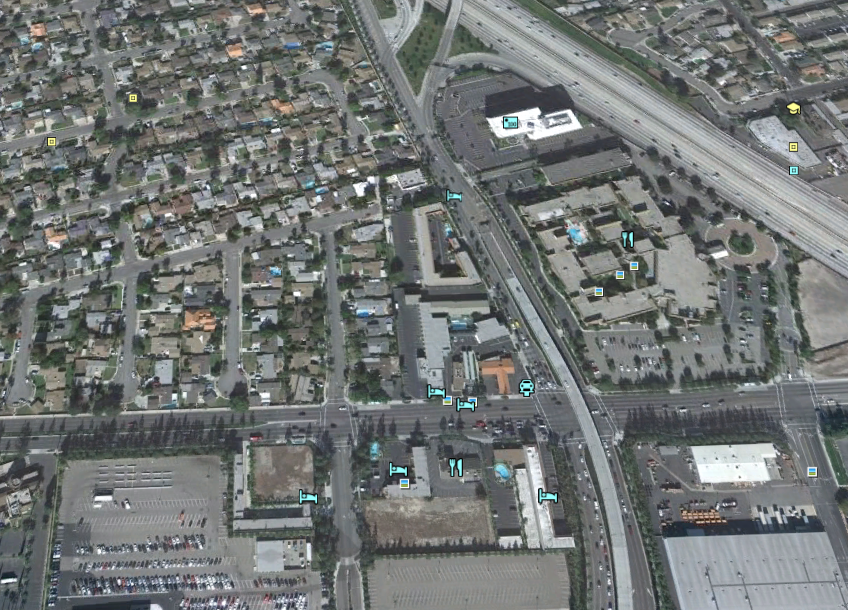
This photo is the same area two years later in 1958. The view is looking north. Compare this to the next photo of the same view as it looks today.
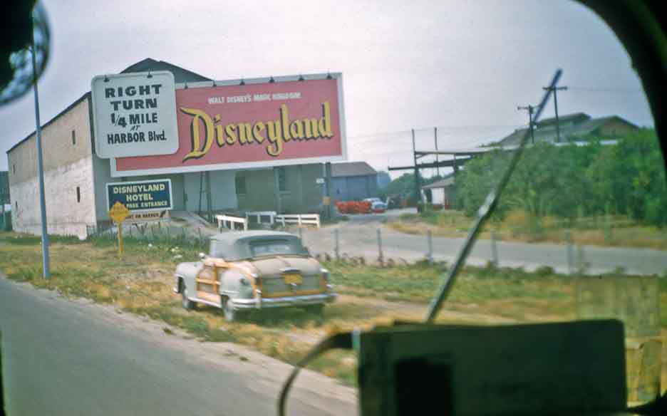
This photo, taken by a late 1950s motorist, shows the building obscured by a sign for the recently opened Disneyland.
![]()